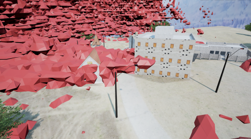
Aerial Sensing and Modeling of 3-D RF Fields
Why?
Beyond military, hobby and recreational use, Unmanned Aerial Vehicles (UAVs) and the potential they represent are being considered seriously for a variety of commercial applications. While a number of regulatory, safety and privacy issues remain to be resolved, several interesting technical challenges have presented themselves. In particular, we predict a trend in which commercial UAVs will move from point-to-point radio systems for command, control and telemetry to using commercial cellular networks, primarily because such networks offer broad coverage. Commercial services have already emerged to provide cloud-based UAV control via cellular networks. But a significant problem remains — these networks were planned, designed and engineered for ground-based terminal devices. The skies are poorly characterized in terms of cellular coverage, leading to risks associated with planning and flying missions into the radio unknown.
What?
Prompted by the UAV opportunity, an examination of cellular network planning — from an RF perspective — reveals that the models used are likewise biased by the ground-based assumption. In this research, we focus on the challenges of characterizing cellular and other multi-node networks in three dimensions, leading to a re-consideration of how measurement and modeling can be beneficially combined. This work suggests potential improvements in the speed and accuracy of multi-node radio network planning and deployment with application to UAVs, hastily-formed (e.g., emergency) networks, and general network design and optimization.

